Pipeline Showcase: High-Fidelity USGS Topography Ingest (San Francisco)
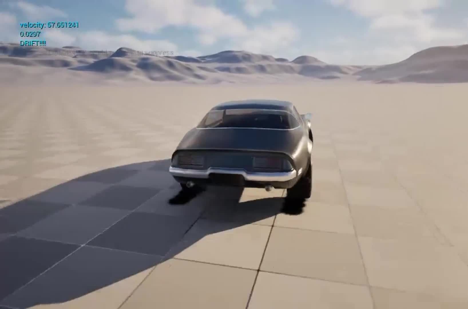
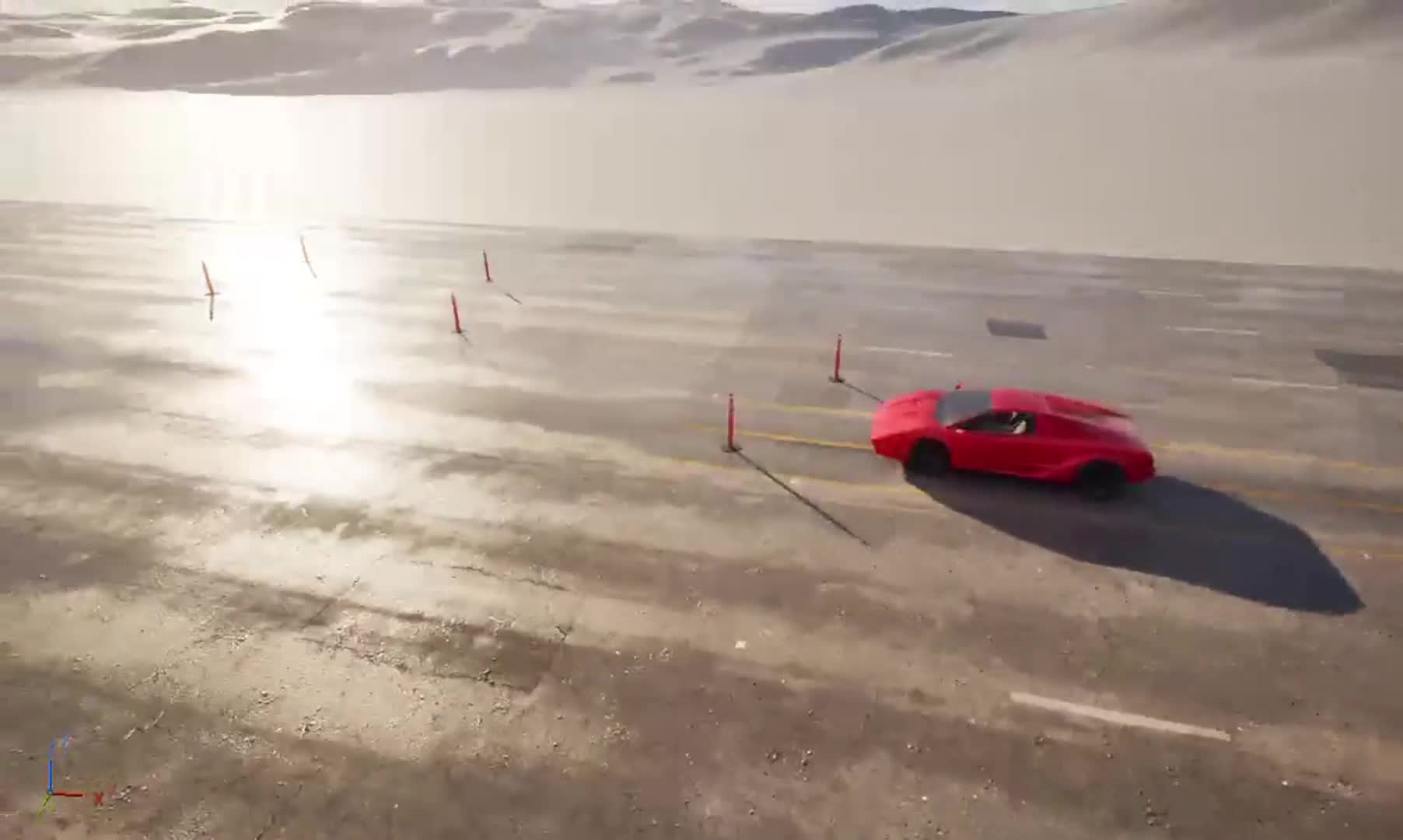
Replicating iconic sequences like the 1968 Bullitt chase requires absolute topographical accuracy. This breakdown displays the structural world-building pipeline: extracting 1-meter bare-earth LiDAR data from the USGS National Map, processing it via QGIS into a NAD83 metric CRS grid, and rendering it as a 16-bit grayscale landscape in Unreal. Roads conform cleanly via a hybrid spline mesh system to eliminate sub-stepping collision artifacts at high speed.
Previous